Technical Services

Hydrology, monitoring, hydroinformatics, field support, and technical water services for complex projects.

Technical depth built for real project conditions

The services below preserve the current live page content while reorganizing it into a clearer, more modern presentation inspired by the approved Services v1 design.

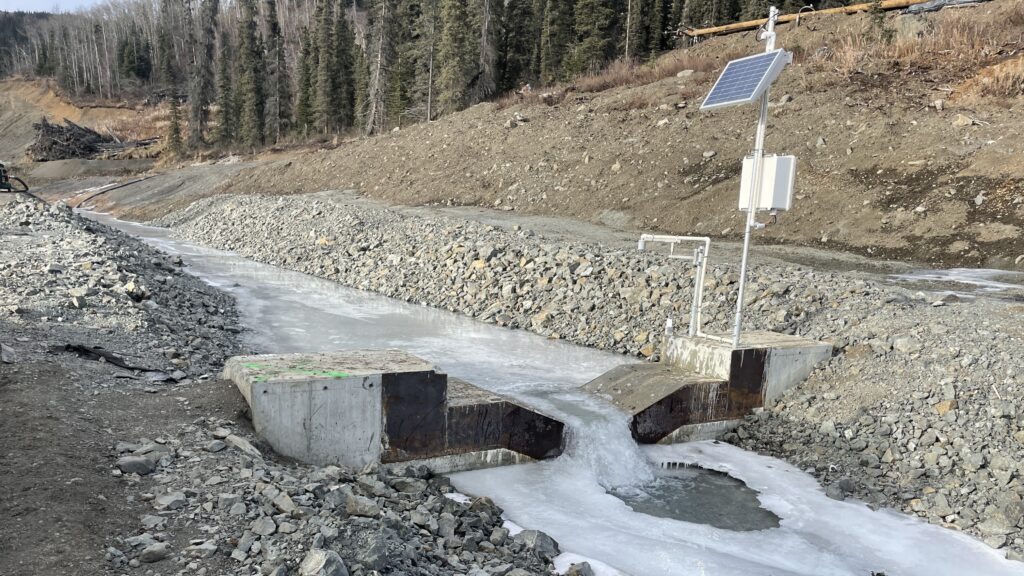
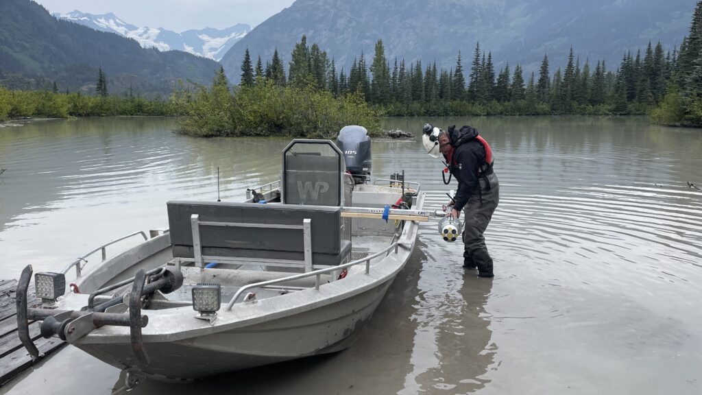
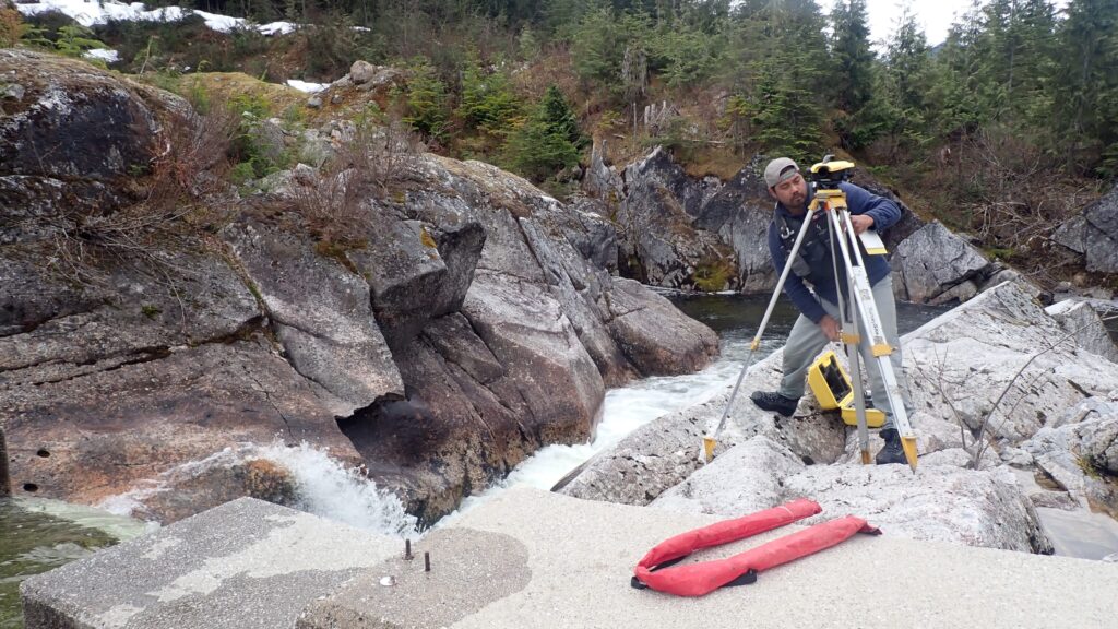
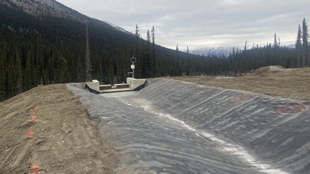
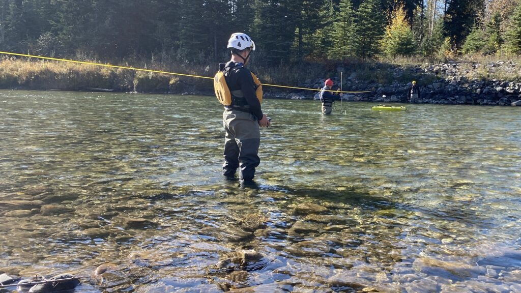
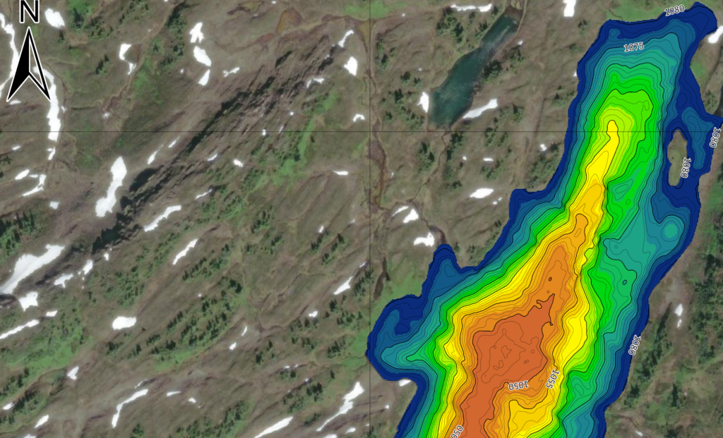
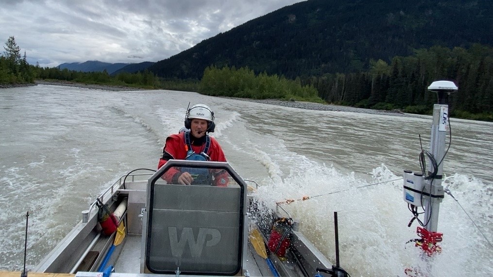
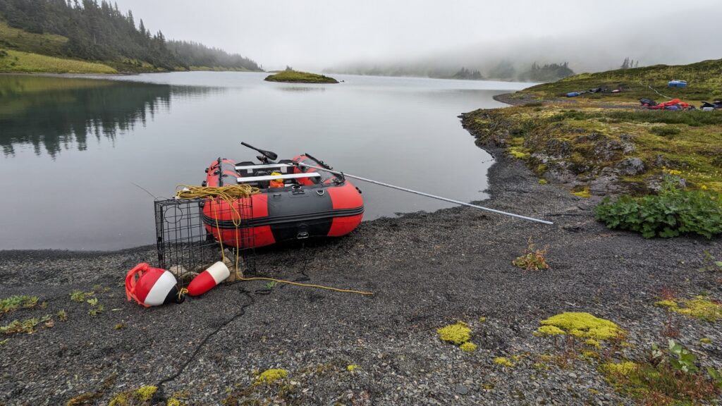
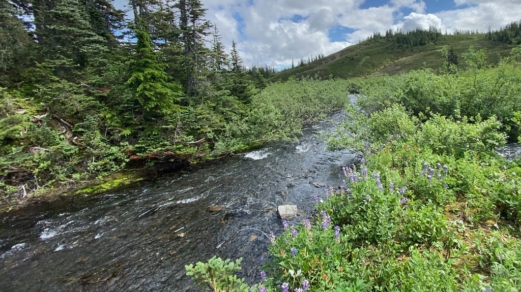
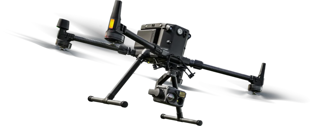
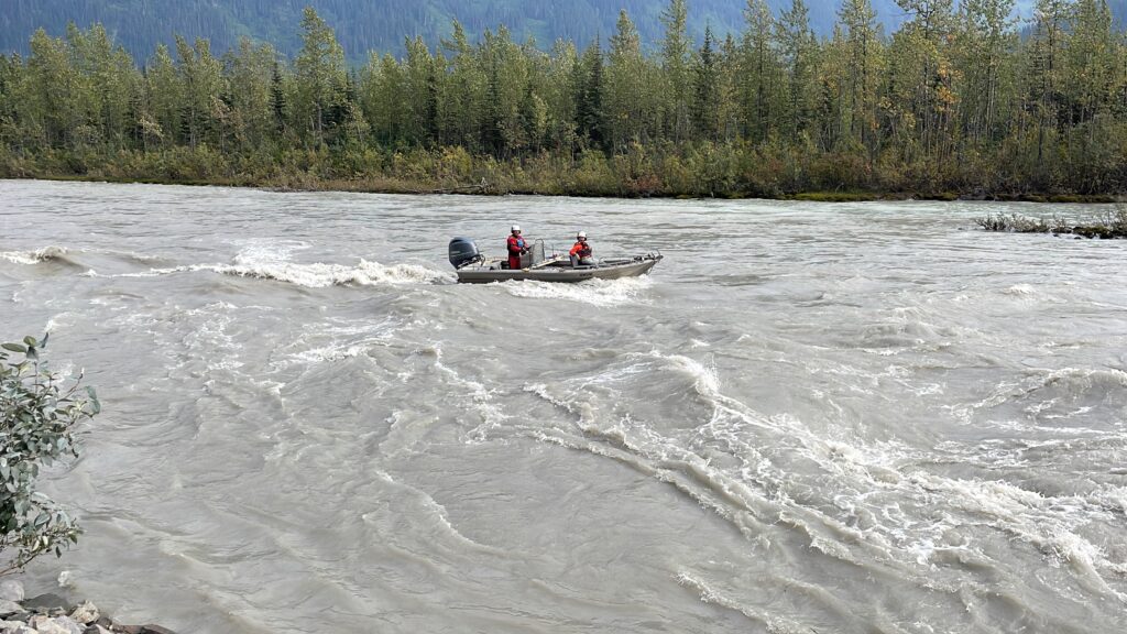
Hydrometric Monitoring

Swiftwater has an unrivaled depth of knowledge and experience in planning, implementing and maintaining efficient hydrometric and climate monitoring networks. Services include:

  • Adherence to the highest industry standards governing data acquisition and safety,
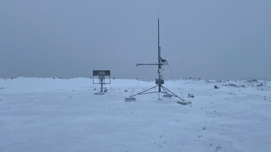
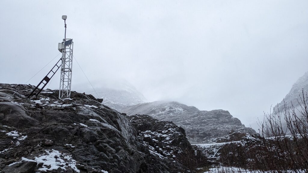
  • Network design, management, planning, installation, and monitoring,
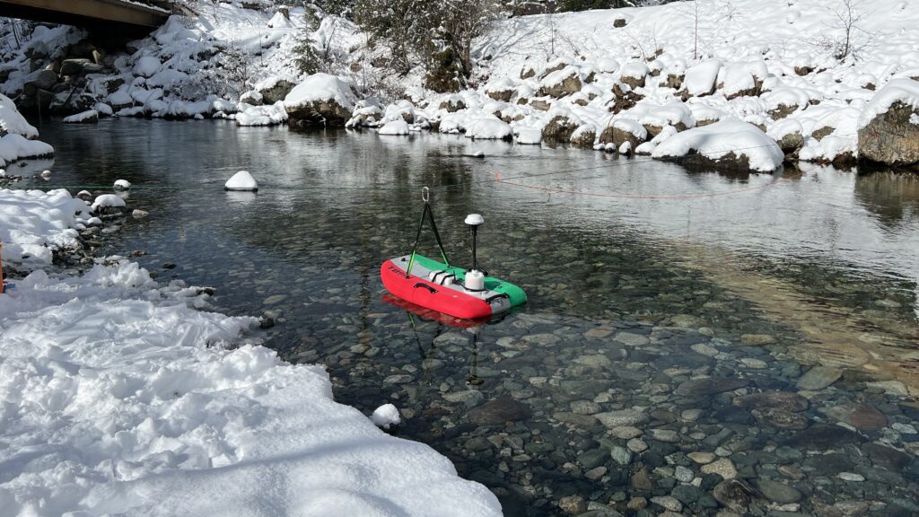
  • Area-velocity, volumetric, tracer dilution, and ADCP measurements techniques,
  • Detailed channel geometry surveying,
  • Theoretical and empirical rating curve development,
  • Real-time data acquisition systems,
  • Data correction, analysis, and reporting.
Hydrometric monitoring field work

Hydroinformatics

Hydrology and Climate data are critical, and must be well managed to be well understood. Services include:

  • Efficient, cloud-based storage of project data, including photos, field sheets and datalogger files,
  • Highly repeatable database structure allows for near limitless capacity,
  • Real-time and non real-time data acquisition, and web-based accessibility,
  • Flood forecasting utilities,
  • Water Quality Sample Management
  • Cutting-edge rating curve development tools and techniques,
  • Sophisticated data processing and correction tools,
  • Comprehensive data grading and flagging utilities.
Hydroinformatics field setup

Hydrology

Characterizing the hydrology of a project site in a manner that is useful to the project requires communicating extremely complex and highly integrated ideas into practical terms. Services include:

  • Validation of project data with long-term regional streamflow and climate records,
  • Integration of precipitation, temperature, snowfall, evaporation and streamflow records to identify critical drivers of hydrologic variability,
  • Development of empirical relationships between project and regional data to derive long-term streamflow and climate records, and
  • Detailed statistical analysis of long-term datasets to derive meaningful project parameters, including critical design inputs.
Hydrology river landscape

Mine Water Management

The effective planning and day-to-day management of water in and around a mine site is a central consideration of project development, permitting and operations. Supporting mine water management includes services such as:

Mine water management monitoring station

Environmental Flows

The effective planning and day-to-day management of water in and around a mine site is a central consideration of project development, permitting and operations. Supporting mine water management includes services such as:

Environmental flows field conditions

Climate

Climate is a of central concern to many operating mines and hydroelectric projects. Our team provides a rational, data driven approach to the characterization of climate. Services include:

  • Design, implementation and collection of high quality climate data,
  • Comparison of project data with long-term regional climate records,
  • Analysis of precipitation, temperature, snowfall, evaporation and streamflow records to identify drivers of hydrologic variability,
  • Development of empirical relationships between project and regional data to derive long-term streamflow and climate records, and
  • Detailed statistical analysis of long-term datasets to derive meaningful project parameters, including design inputs.
Climate monitoring site

Flood Assessments

Flooding is a natural stream process that can directly impact operations and damage vital project infrastructure. Planning for floods requires assessments to be completed using a variety of data types, including stream geometry, return period flood magnitude estimates, and high resolution topographic data. Swiftwater utilizes industry standard tools and techniques, including HydrCAD and HEC-RAS software, to model flood elevations for project permitting and design.

Flood assessment site conditions

Limnological Surveying

Swiftwater utilizes the latest technology and techniques to precisely and efficiently completely detailed bathymetry surveying.

Limnological surveying work

Environmental Assessments

Swiftwater provides specialist technical support for the development and submission of comprehensive environmental assessments. We work with project proponents, consultants, and regulators to establish requirements, and provide technical, interdisciplinary and regulatory guidance related to surface water hydrology and climate. Swiftwater has an extensive background designing and implementing compliance and operational monitoring plans, performing detailed analyses of baseline datasets, and completing vital environmental effects assessments.

Environmental assessment site work

Hydrotechnical Design & Construction

Hydrotechnical design and construction
GIS and mapping

GIS & Mapping

Weir design and construction

Weir Design &Construction

Flow accretion studies

Flow Accretion Studies

Bathymetry

Bathymetry
River bathymetry

Rivers

Lake bathymetry

Lakes

Initial dilution zone work

Initial Dilution Zone

Drone Surveying

Drone surveying
LiDAR and photogrammetry survey

LiDAR & Photogrammetry

Swiftwater uses the DJI Matrice 400 platform with Zenmuse L3 LiDAR and RTK positioning to collect high-density terrain and infrastructure data for mining, energy, and water-resource projects. LiDAR is the primary mapping tool for vegetated or rugged sites, producing survey-grade point clouds and bare-earth DEMs that support engineering, slope stability, volumetric analysis, corridor assessment, and hydraulic modelling.

Integrated RGB imagery is used to colourize LiDAR and support visual interpretation; orthomosaic or surface-model deliverables can be produced where project requirements and image resolution are appropriate.

Thermal drone mapping

Thermal Mapping

Using the Zenmuse H30T, Swiftwater captures infrared heat signatures and converts them into high-resolution thermal maps that reveal structural, mechanical, and environmental anomalies invisible to standard cameras.

For water-resource and environmental projects, thermal imagery can help identify groundwater discharge into streams, lakes, and wetlands; detect seepage or leakage in reservoirs, channels, and water-distribution systems; and map thermal plumes from industrial discharges to support compliance and aquatic ecosystem protection.

For mining and industrial sites, thermal mapping supports non-contact inspection of tailings infrastructure, containment systems, unstable slopes, high walls, and hazardous zones from a safe distance.

Let's Talk

Get in touch to discuss your work, ask a question, or start a conversation.

Swiftwater Consulting Ltd.
750 W Pender St #1101,
Vancouver, BC V6C 2T8

Swiftwater Consulting